Our Work
Projects and Partnerships
Explore selected GISSTT projects that demonstrate how geospatial technology, partnerships and capacity building are supporting communities and organisations across Trinidad and Tobago.
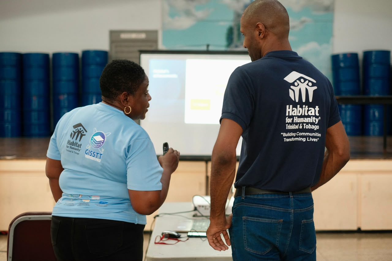
Habitat for Humanity Trinidad and Tobago
HITRESET / Building Resilient Cities
Using GIS, drone imagery, household resilience surveys and spatial analysis to strengthen community understanding of disaster risk, exposure and vulnerability.
View Project
GISSTT supported community mapping, UAV data collection, building digitisation, household resilience surveys, risk analysis and dashboard development.
The work provided stakeholders with a clearer spatial picture of exposed buildings, high-risk areas, infrastructure and household resilience.
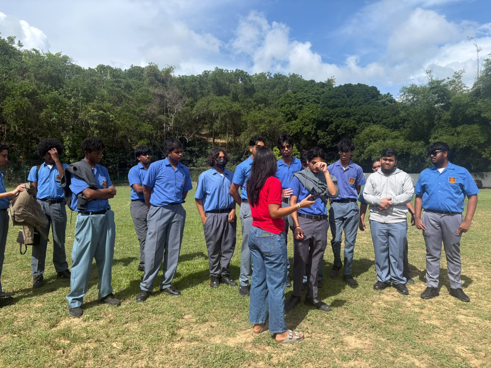
TTRCS
Community Mapping and Geospatial Support
Strengthening geospatial datasets and tools to support community planning, vulnerability assessment and emergency-management activities.
View Project
Activities included building-footprint digitisation, field surveys, agency coordination, data cleaning and validation, and GIS dashboard development.
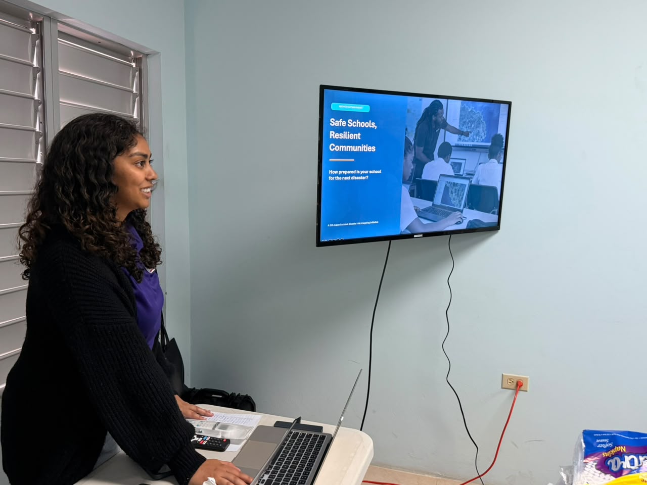
CCRIF SPC
Geospatial Risk Information Support
Supporting the use and communication of geospatial information relating to hazard, exposure and disaster risk.
View Project
GISSTT contributed to exposure information, mapping and project visuals designed to make technical risk information easier to use.
Humanitarian OpenStreetMap Team
Open Mapping and Capacity Building
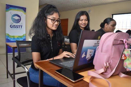
Building local capacity in disaster risk management, open mapping, drone technology and the use of open-source geospatial tools.
View Project
GISSTT delivered practical training in disaster risk management, open-source mapping tools and drone applications.